-
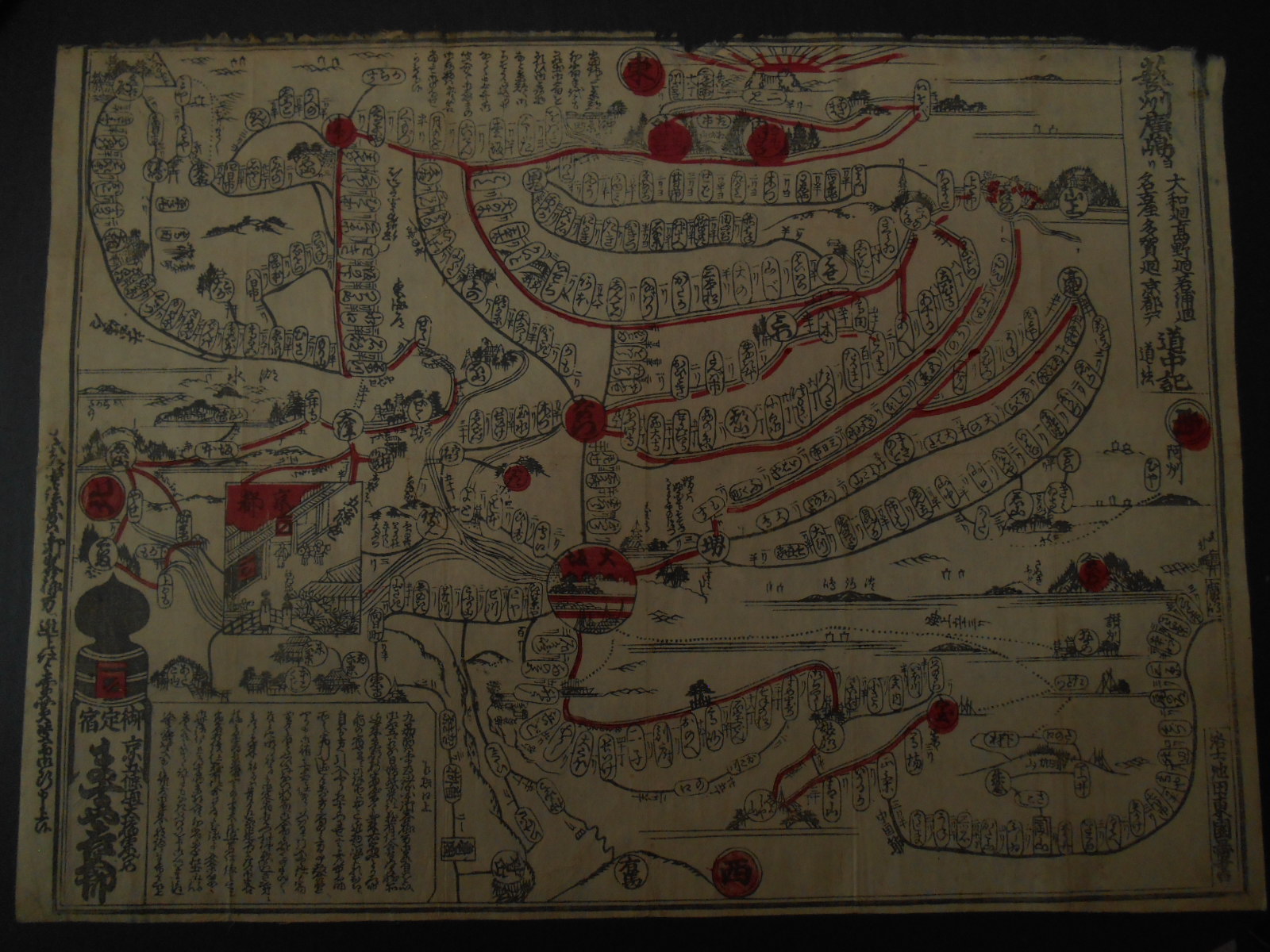
 help understanding vintage japanese map
  ( China & Japan ) - francis minvielle - Dec 01, 2023 (08:56 AM)
 - Re: help understanding vintage japanese map - I.Nagy - Dec 02, 2023 (06:12 AM)
- Re: help understanding vintage japanese map - francis minvielle - Dec 03, 2023 (06:56 AM)
- Re: help understanding vintage japanese map - I.Nagy - Dec 04, 2023 (06:28 AM)
- Re: help understanding vintage japanese map - francis minvielle - Dec 04, 2023 (01:11 PM)
- Re: help understanding vintage japanese map - I.Nagy - Dec 06, 2023 (03:04 AM)
- Re: help understanding vintage japanese map - francis minvielle - Dec 06, 2023 (10:51 AM)